7.3 Magnitude Earthquake Off Mexico Coast Triggers Pacific Tsunami Warning
A magnitude 7.3 earthquake recently struck off the southern coast of Mexico, prompting a tsunami warning for parts of the Pacific Ocean. The event highlights Mexico's location within one of the world's most seismically active regions—the Pacific Ring of Fire.
Magnitude 7.3 Earthquake Strikes Southern Mexico, Triggers Tsunami Warning
The Event
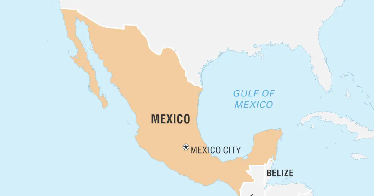
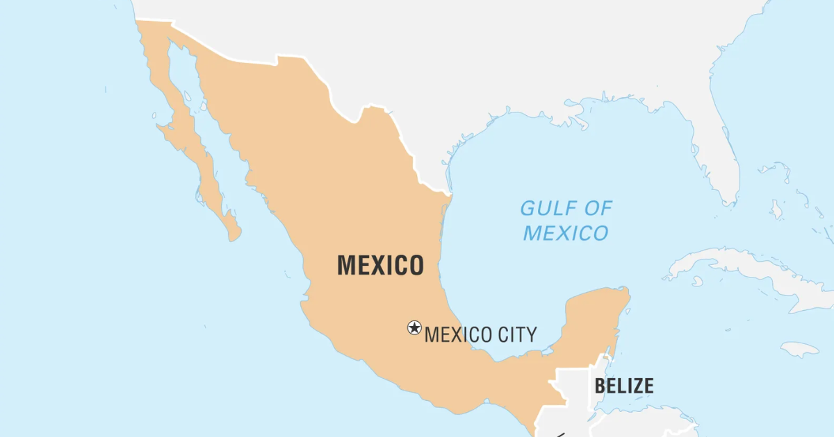
A powerful magnitude 7.3 earthquake struck off the Pacific coast of Mexico's Chiapas state on July 17, near the border with Guatemala, briefly triggering tsunami warnings across parts of the eastern Pacific before the threat was lifted roughly three hours later. According to the US Geological Survey, the quake's epicentre lay approximately 48 kilometres southwest of Aquiles Serdán at a shallow depth of about 15 kilometres, a combination that explains why the tremor was felt strongly across southern and central Mexico, including Mexico City, as well as in Guatemala and El Salvador. The main shock was preceded by a smaller offshore quake and followed by at least ten aftershocks ranging from magnitude 4.9 to 6.0, signalling continued seismic activity beneath the region.
Response and Impact
Mexico's Navy advised coastal residents to stay away from beaches for several hours while the tsunami threat was evaluated, and the Meteorological Service of Chiapas initially estimated wave heights of around one metre along stretches of the Mexican and Guatemalan coastline.
Mexico's Secretary of the Navy, Raymundo Morales, told reporters, "There is no problem, no serious maritime impact," adding that only some beaches were expected to see water levels rise by up to half a metre due to the tsunami effect.
Despite the quake's strength, authorities in both Mexico and Guatemala reported no fatalities and only minor injuries, with Mexican President Claudia Sheinbaum confirming that neither Chiapas nor the neighbouring state of Tabasco had reported significant damage. Notably, Mexico's seismic early-warning alert system was not activated, since the energy released in the earthquake's initial seconds did not cross the system's activation threshold, an outcome that has since drawn attention to the calibration of the country's alert infrastructure.
Why Southern Mexico Is So Earthquake-Prone
The quake once again underscored the seismic vulnerability of southern Mexico, a region shaped by the interaction of several tectonic plates along the circum-Pacific "Ring of Fire," the belt of intense volcanic and seismic activity that rims the Pacific Ocean basin. This tectonic setting has historically produced some of Mexico's deadliest natural disasters, making the country one of the most earthquake-prone in the world despite the comparatively low casualty toll from this particular event.
About Mexico
Mexico occupies the southern portion of North America, bordered by the United States to the north and by Guatemala and Belize to the southeast, with the Pacific Ocean along its south and west and the Gulf of Mexico and Caribbean Sea to its east. Its capital is Mexico City. Geographically, the country features the Baja and Yucatan peninsulas, is drained by major rivers including the Rio Grande and the Colorado, which it shares with the United States, and contains significant lakes such as Chapala and Cuitzeo. The Sierra Madre forms its principal mountain range, and the country is richly endowed with natural resources including petroleum, silver, antimony, copper, gold, lead, zinc, and natural gas.
Significance and the Way Forward
Events like this reinforce the importance of maintaining robust early-warning and tsunami-monitoring infrastructure along the Pacific Rim, particularly for a country whose seismic history includes catastrophic quakes such as the 1985 Mexico City disaster. The fact that Mexico's own alert system did not trigger despite the quake's magnitude highlights an ongoing calibration challenge in early-warning networks, one that regional disaster-management agencies will likely need to revisit. For countries like India that similarly sit near active tectonic boundaries, the episode is a reminder of the value of investing in dense seismic monitoring networks and rapid tsunami advisory systems capable of covering wide coastal stretches within minutes of a quake.
Conclusion
The magnitude 7.3 earthquake off Chiapas, though it caused no major casualties, is a reminder that Mexico's location along the seismically volatile Ring of Fire keeps large segments of its population permanently exposed to sudden geological hazards. The relatively contained impact this time reflects both fortunate epicentral positioning and improved coastal preparedness, but the failure of the national seismic alert system to activate signals room for refinement in how such systems calibrate risk. As tectonic activity along the Pacific Rim continues to shape disaster-preparedness priorities worldwide, this event adds to the broader case for sustained investment in real-time monitoring and cross-border coordination among earthquake-prone nations.