ONGC Begins First Deepwater Appraisal Well in Mahanadi Offshore Basin
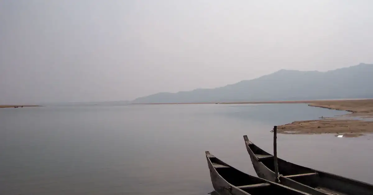
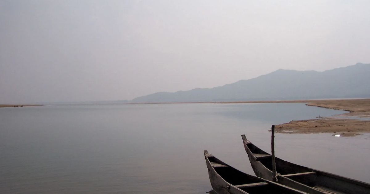
The Oil and Natural Gas Corporation (ONGC) recently spudded the first deepwater appraisal well in the Mahanadi Offshore Basin, highlighting the strategic importance of the Mahanadi basin for India's hydrocarbon exploration.
ONGC's Deepwater Push in the Mahanadi Offshore Basin: Reviving India's Third-Largest Peninsular River System
The Trigger Event
State-owned Oil and Natural Gas Corporation, in a development flagged by the Union Petroleum Ministry as a milestone in India's offshore energy story, spudded the country's first deepwater appraisal well, MN-DWN18-1-HD, in the Mahanadi Offshore Basin on 25 July 2026. Union Minister for Petroleum and Natural Gas Hardeep Singh Puri, who virtually inaugurated the drilling from New Delhi, called it the beginning of a new chapter in India's journey towards energy security. The well is being drilled roughly 23 nautical miles off Konark on the Odisha coast, building on ONGC's earlier Utkal and Konark discoveries in the same basin, and forms part of the government's broader "Samudra Manthan" mission to explore deep and ultra-deepwater hydrocarbon resources.
"India's next energy frontier is deep waters." — Hardeep Singh Puri
The MN-DWN18-1-HD well is the first of four planned deepwater wells that will systematically evaluate one of India's most prospective offshore basins, and the ministry has said India's eastern and western offshore basins, extending to water depths of up to 3,000 metres, are estimated to hold over 5,600 million metric tonnes of oil equivalent of hydrocarbon potential. This drilling programme sits atop a decade of policy reform, including the Hydrocarbon Exploration and Licensing Policy, the Open Acreage Licensing Programme, a revenue-sharing framework, and the opening of nearly 99 percent of previously restricted offshore "No-Go" areas, and it is being carried forward through ONGC's dedicated Deepwater Exploration Mission Centre, DeepX, launched in Mumbai earlier this year.
Understanding the Mahanadi: A Geographical Profile
The basin now drawing investor and strategic attention takes its name from one of India's most significant east-flowing rivers, and its geography explains why the Mahanadi delta and its offshore extension are ecologically and economically consequential. The Mahanadi is one of the major east-flowing peninsular rivers, coursing through Chhattisgarh and Odisha, and it ranks as the third-largest peninsular river after the Godavari and Krishna. It originates from the Sihawa Hills in the Dhamtari district of Chhattisgarh at an elevation of about 442 metres, beginning as a scatter of small streams in the Dandakaranya foothills.
"For much of recorded history, the Mahanadi was known for its deadly floods, earning it the title 'Sorrow of Odisha' until the Hirakud Dam altered that history."
From its source, the river initially flows northward for close to 100 kilometres before bending sharply eastward into the plains, a course that has historically made it one of the most heavily silt-depositing streams on the Indian subcontinent. After entering Odisha near Cuttack, it fans out into a delta before draining into the Bay of Bengal at False Point through several distributary channels near the seaport town of Paradip. The river's total length is reckoned at approximately 860 kilometres, with sources placing the figure in the broader 851 to 900 kilometre range depending on measurement methodology.
The delta region carries considerable civilisational and religious weight: Puri, the pilgrimage town, sits close to one of the river's mouths, while Konark's Sun Temple, and now ONGC's new appraisal well, lies further up the same coastline. The Mahanadi basin is bounded by the Central India hills to the north, the Eastern Ghats to the south and east, and the Maikal range to the west, and it extends across Chhattisgarh and Odisha along with smaller portions of Jharkhand, Maharashtra, and Madhya Pradesh, threading through cities such as Raipur, Sambalpur, and Cuttack.
The River System: Tributaries, Dams, and Chilika's Dependence
The Mahanadi's hydrological character is shaped by an extensive network of tributaries, among them the Seonath, Jonk, Hasdeo, Mand, Ib, Ong, and Telen rivers, which feed into the main channel from both the plateau regions of Chhattisgarh and the hill tracts of Odisha. This network has been harnessed through a series of major dams, including the Hirakud Dam in Odisha, one of the longest earthen dams in the world, along with the Gangrel, Tandula, Sondur, and Hasdeo Bango dams in Chhattisgarh and the Kalma Barrage in Odisha.
"The Mahanadi river system contributes 61 percent of Chilika Lake's inland freshwater flow, mainly through its distributaries, the Daya and Bhargabi."
This link to Chilika, a Ramsar-designated wetland of international importance, underscores the ecological stakes tied to the river's health. Any disturbance to freshwater inflow patterns, whether from upstream damming, delta-level industrial activity, or offshore hydrocarbon exploration near the coast, carries downstream implications for one of Asia's largest brackish-water lagoons and the migratory bird and fishery ecosystems it sustains.
Significance and the Way Forward
The spudding of MN-DWN18-1-HD is significant on more than one count. Strategically, it advances India's stated goal of energy self-reliance by tapping a basin the government believes holds substantial untapped reserves, reducing the country's heavy dependence on crude and gas imports. Economically, successful appraisal could open a fresh frontier for domestic upstream investment at a time when India's mature onshore fields are yielding diminishing returns. Institutionally, it reflects the maturing of India's offshore licensing architecture, from the nomination-based regime of the pre-2014 era to a more transparent, acreage-driven exploration model.
At the same time, the basin's geography demands that this economic push be read alongside its ecological context. The Mahanadi delta is a flood-prone, silt-heavy, and biodiversity-sensitive coastline that already sustains the pilgrimage economy of Puri, the heritage site at Konark, and the Chilika wetland further down the coast. The way forward lies in ensuring that deepwater appraisal and, eventually, production activity proceed with rigorous environmental safeguards, transparent monitoring of coastal and marine ecosystems, and close coordination between the Petroleum Ministry, the Directorate General of Hydrocarbons, and state authorities in Odisha, so that energy security gains do not come at the expense of the delta's fragile hydrology.
Conclusion
The commencement of deepwater appraisal drilling in the Mahanadi Offshore Basin marks a meaningful step in India's decade-long effort to reform and expand its offshore exploration regime, and it brings renewed national attention to a river system that has long shaped the geography, culture, and economy of Chhattisgarh and Odisha. As ONGC advances its four-well appraisal programme under the Samudra Manthan mission, the challenge for policymakers will be to pursue this energy frontier in a manner that respects the Mahanadi's ecological legacy, from its silt-laden course through the peninsular plateau to its vital role in sustaining the Chilika ecosystem at the coast.